


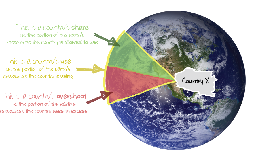
The performance of a country is computed on the basis of a score:
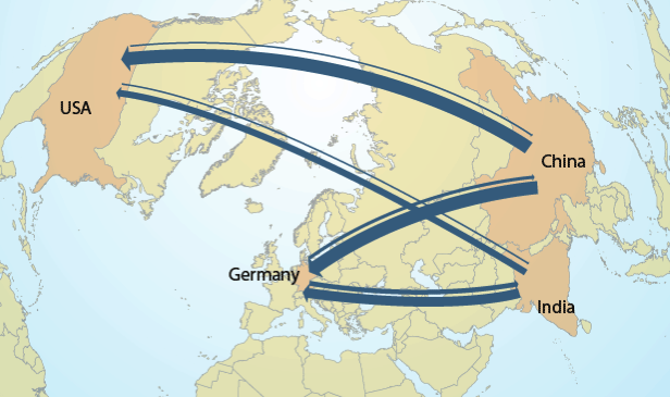
Country footprints aggregate environmental impacts and/or resource uses along global production-consumption chains according to a life cycle perspective. They allow quantifying the environmental impacts induced by the consumption of the inhabitants of a country wherever these impacts occur on Earth.
 Step 1: Global limits are quantified for each Planetary Boundary
The indicators have been selected in order to be representative of the Planetary Boundaries and computable from a life cycle perspective on a global scale.Two types of indicators are considered:
| Definition | Global limit | Global limit per capita | |
| Yearly budget | Available year after year, e.g. land for agriculture and urbanisation. The budget is divided yearly by the global population. | fixed | evolving | Budget over time | Available once for a given period of time, e.g. carbon emissions until 2100. The global budget over time is divided by the cumulated sum of the yearly population in the period considered. | evolving | fixed |
The global limits per capita correspond to an “equal share” principle. It is assumed that every person on Earth may use the same amount of a given natural resource.
Step 2: Global limits are allocated to regions/countries
The exclusive share per country is defined as the share of the country population relatively to the global population at a reference date. The share of the resources available per country is fixed from this date.
When justified - by past knowledge, rights or responsibilities - a reference date is selected in the past, e.g. 1990 for Climate Change.
Since resources are allocated to countries first and then to people (the final beneficiaries) in a second step, the country limits per capita evolve over time according to national demographics. The country limits per capita differ thus from the global (equal share) limits per capita when the population growth is different from the global population growth since the reference date.
Look at the big picture !
Current results represent first estimates of the performances of countries with respect to Planetary Boundaries. Computations are based on international datasets included in world input-output models (WIOD and exiobase 2.0) which we complemented with additional sources and basic assumptions.
The overall perspective is assumed to be correct but errors could exist for specific countries. Results will be improved in the follow-up projects.